|
|
|
Team A |
|
Planning Capstone |
|
March 11, 2004 |
|
|
|
|
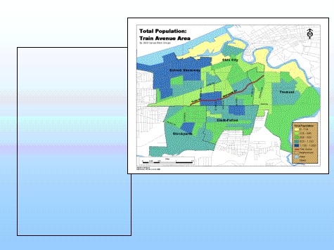
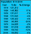
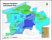
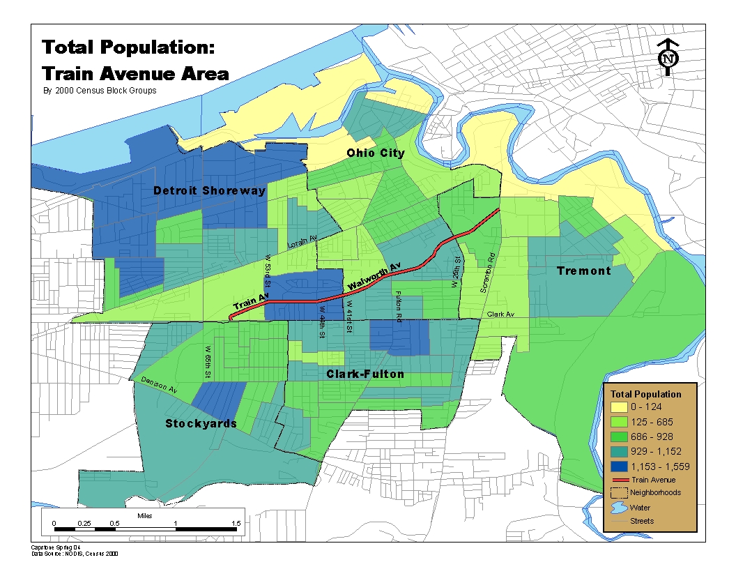
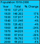
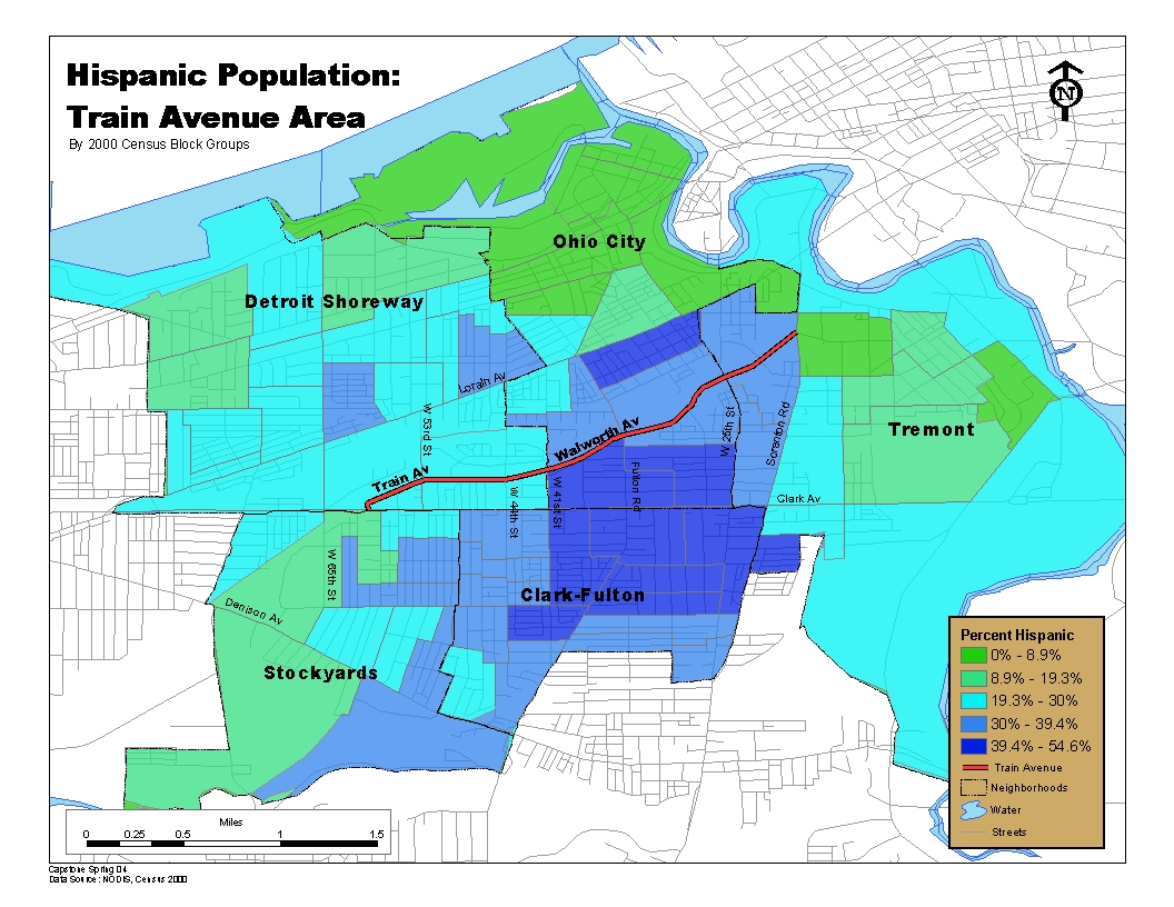
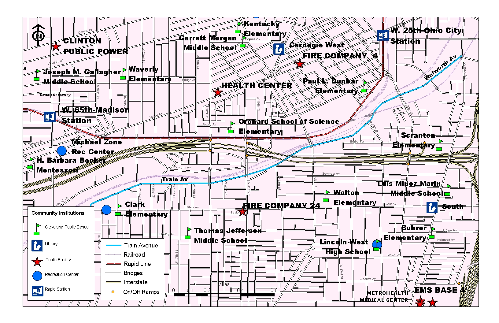
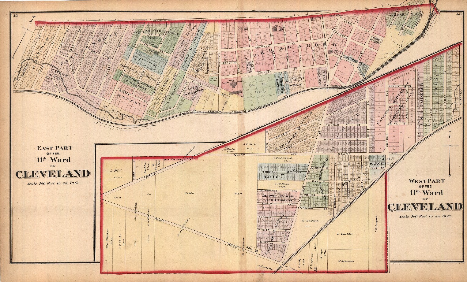
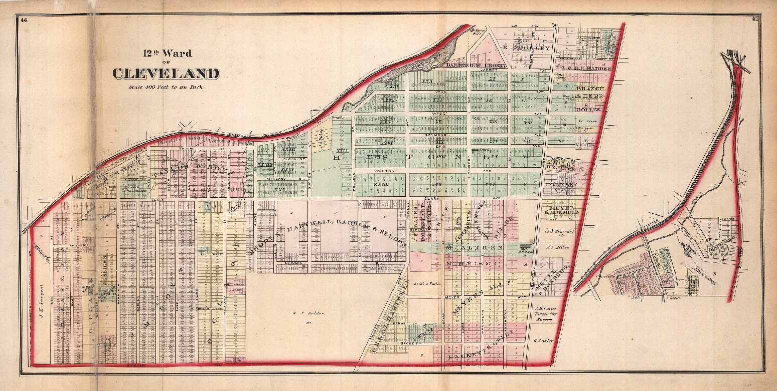
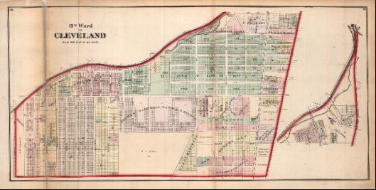
Demographics |
|
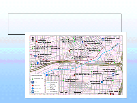
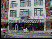
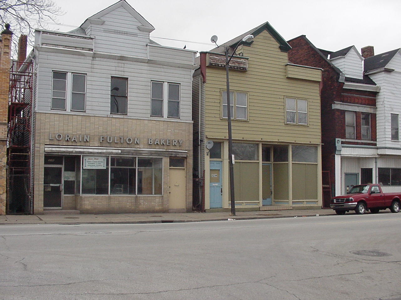
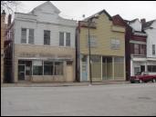
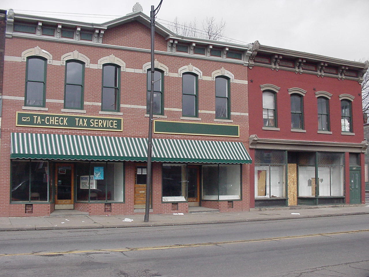
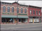
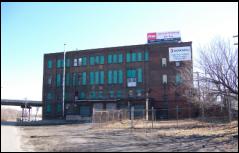
Built History |
|
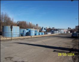
Environmental History & Conditions |
|
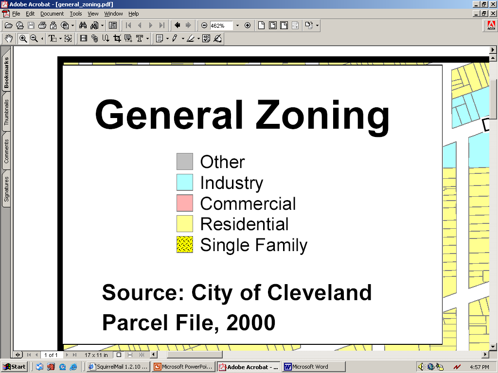
Land Use Data & Analysis |
|
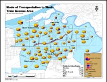
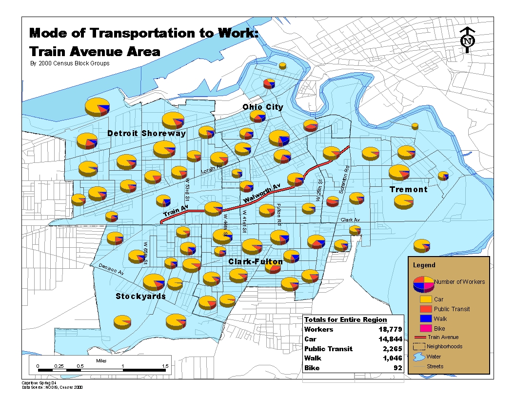
Transportation |
|
Housing Analysis |
|
Market Analysis |
|
|
|
|
|
|
|
|
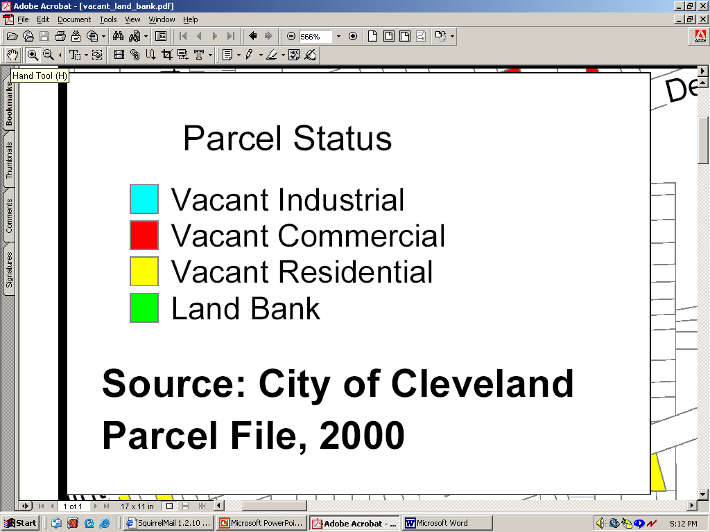
Data Sources: Census 2000, Cleveland Planning
Commission Neighborhood Fact Sheets, Cuyahoga County Planning Commission |
|
All maps are available in PDF & JPEG format. |
|
|
|
|
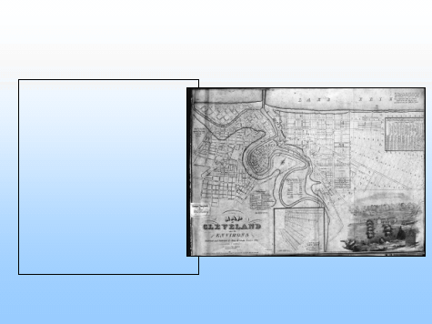
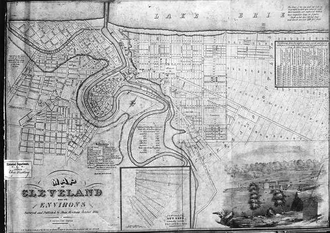
Early Development |
|
1796- Moses Cleaveland founded Cleveland |
|
1805- Treaty signed at Fort Industry
transferring land west of Cuyahoga |
|
1818- Brooklyn Township founded |
|
1827- Opening of Ohio & Erie Canal |
|
1835- City of Ohio Incorporation |
|
|
|
|
1849- Railroad Development Era began |
|
1854- Ohio City annexed to Cleveland |
|
1856- Cleveland’s first Water & Sewer
Systems built |
|
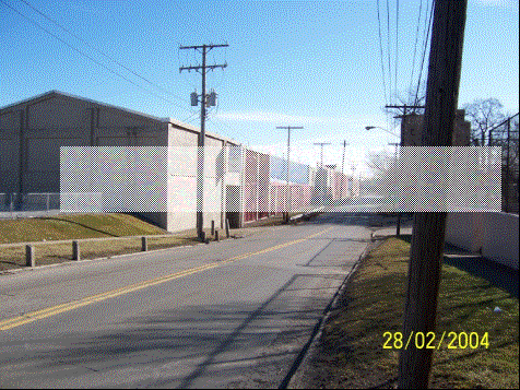
1860’s- Train Ave, Corridor Developed |
|
1878- Superior Viaduct opened |
|
1885- Walworth Run Street developed |
|
1880’s –1930’s- Cleveland’s Industry and economy
is thriving |
|
|
|
|
Early settlers of Brooklyn Township were farmers
who farmed wheat, rye, and corn |
|
Early Industries were saw & grist mills, tin
& sheet metal factories, shipbuilding and breweries |
|
Heavy Industry and stockyard development became
more abundant after the arrival of the railroads |
|
Retail development sprouted along Clark Ave.,
Pearl St. (W. 25th)
and Lorain Ave. |
|
Dense, working-class residential housing
developed within close proximity to the corridor |
|
|
|
|
|
|
|
|
|
|
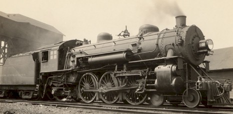
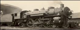
Major advancement in Cleveland’s West side
development was the growth of the railroads |
|
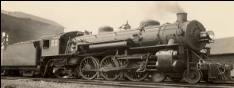
Cleveland's railroad era officially began on
November 3, 1849 when the Cleveland, Columbus & Cincinnati Railroad
started rolling |
|
The CC&C Railroad’s location along the
Walworth Run Valley would later assist with the west side manufacturing
development along the Train Ave. corridor. |
|
From the 1860s to the 1960s, railroads served as
the principal transporter of goods and people to and from Cleveland. |
|
|
|
|
|
|
|
|
|
|
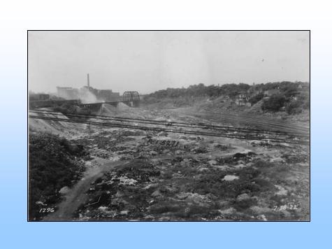
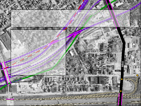
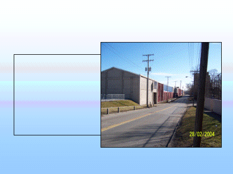
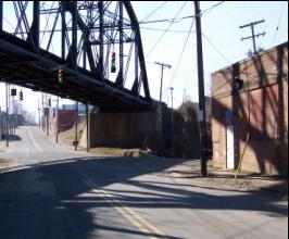
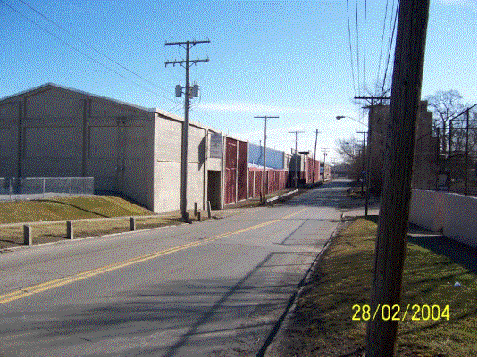
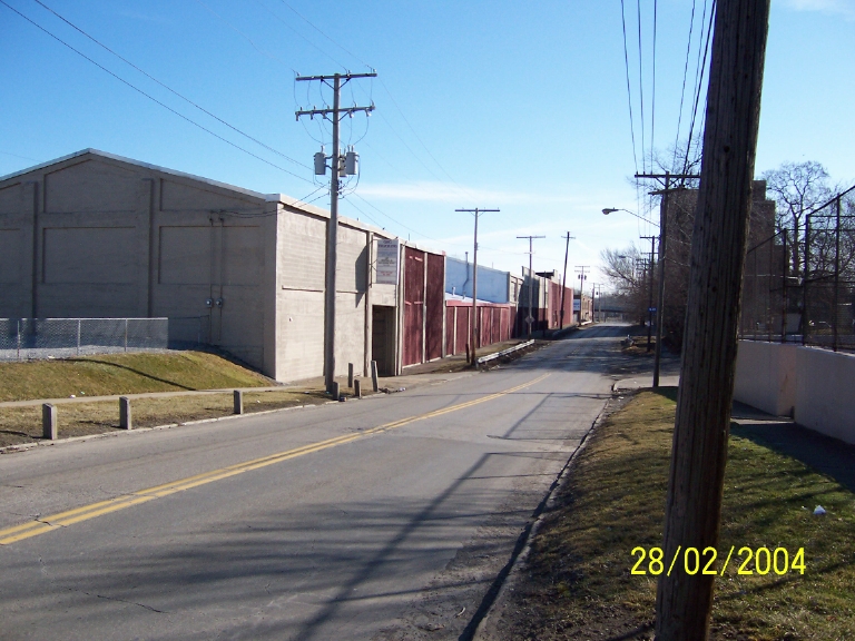
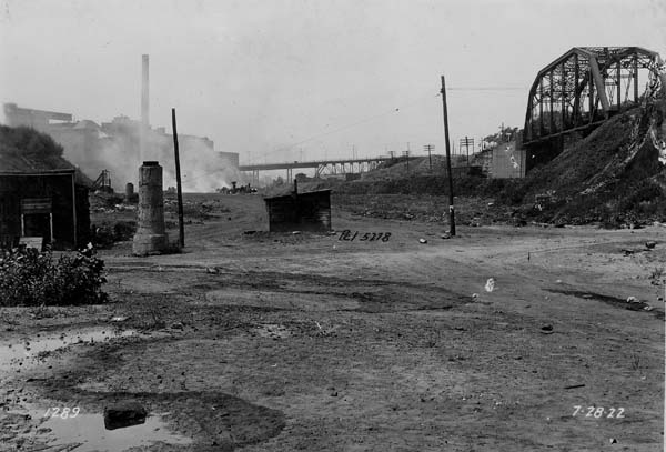
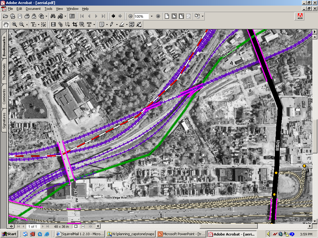
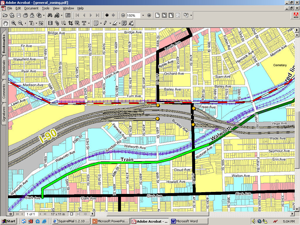
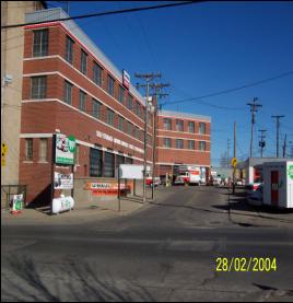
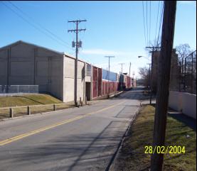
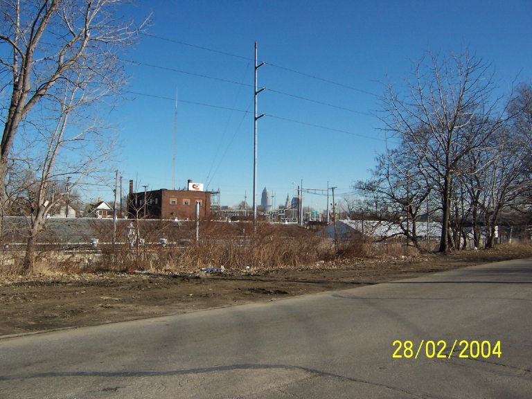
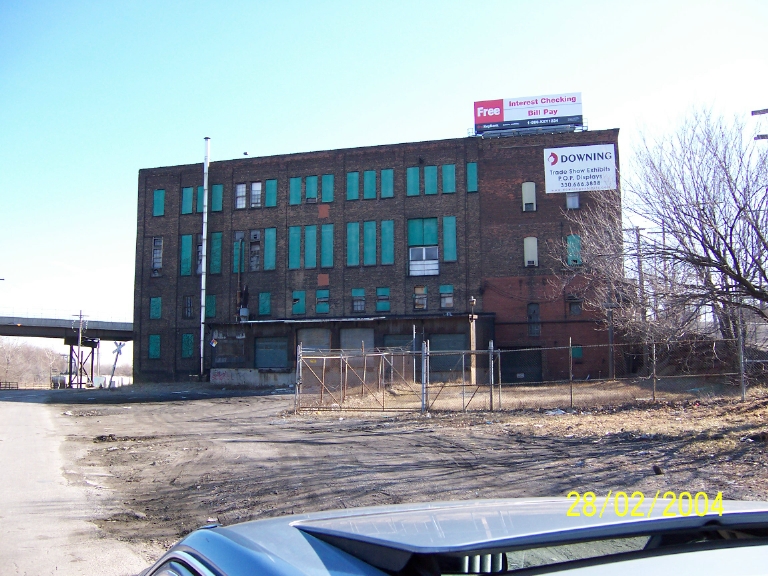
The Train Ave. corridor was developed in the mid
1860’s as an industrial thoroughfare that was home to many of Cleveland’s
manufacturing industries. |
|
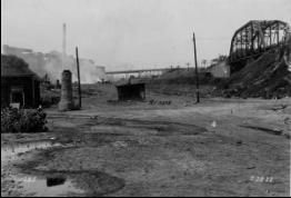
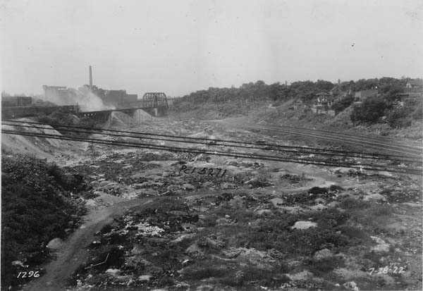
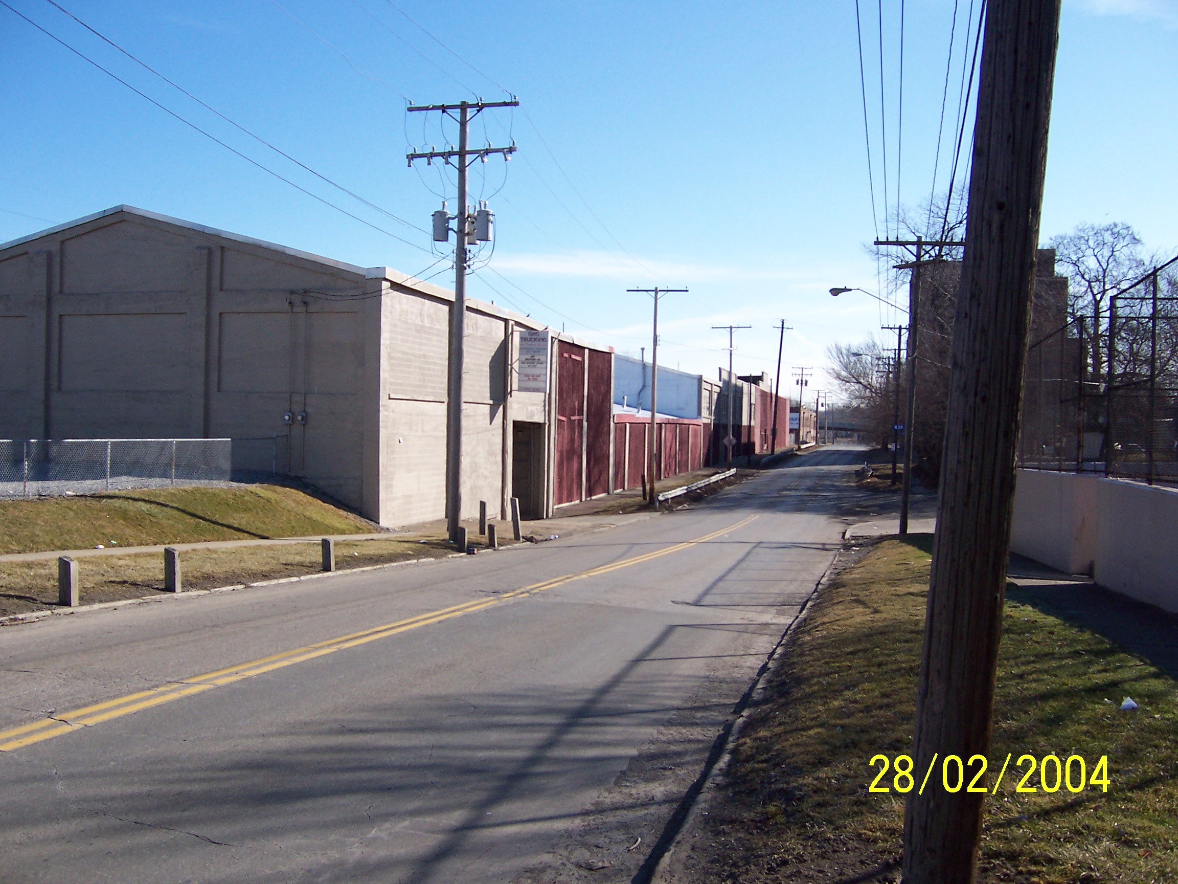
In 1885, Walworth Run Street was opened.
Walworth Run was named after the Walworth Family, prominent Clevelander’s. |
|
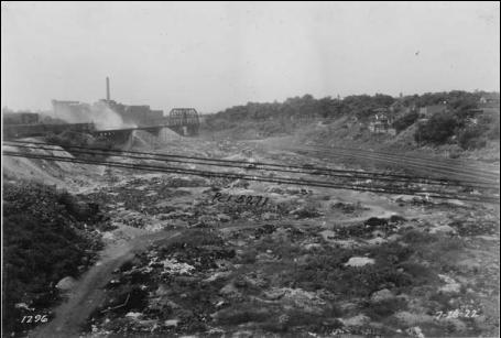
Walworth Run valley was previously used as a
dumping ground. A main sewer was built along Walworth Run to divert sewage
from the river. |
|
|
|
|
|
|
|
|
|
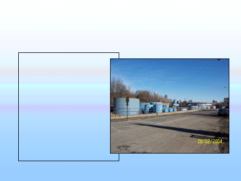
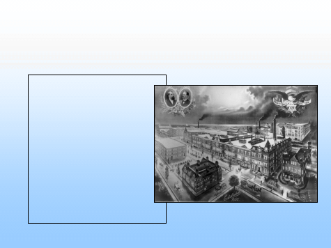
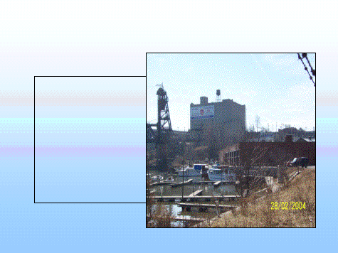
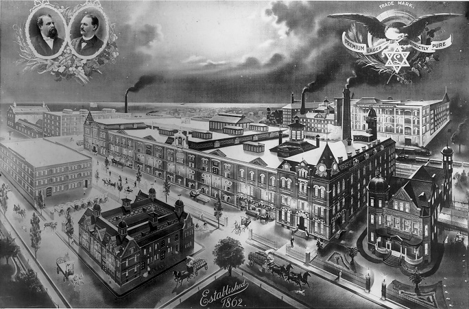
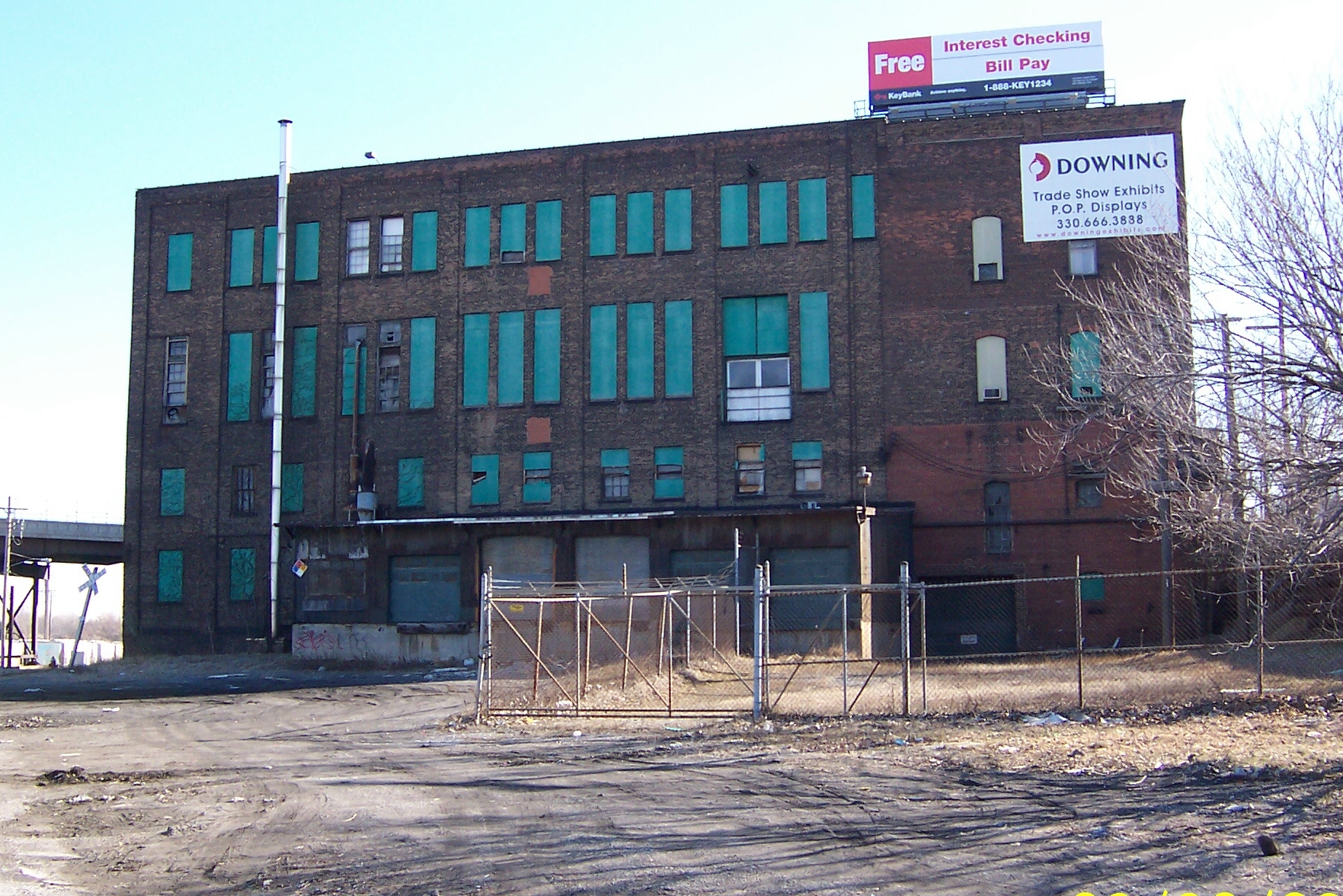
Standard & Leisy Brewing Company |
|
Cleveland Union Stockyards Company |
|
Forrest City Foundries |
|
Euclid Coffee Co. |
|
Herman McLean Co.;Feed, Hay & Grain |
|
W.W. Sly Mfg Co. |
|
Cleveland Ice Cream Co. |
|
The Cleveland Provision Company |
|
|
|
|
|
|
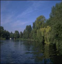
All of NE Ohio covered in hardwood forest (Oak,
Maple, Beech…Hemlocks only coniferous evergreens) |
|
Blackberries, raspberries, strawberries
everywhere |
|
“the water is always clear with a brisk current…
there are some beautiful small lakes in this country, with water as clear
as “chrystall” and alive with fish.
In lakes as well as in River water fowl in abundance in spring and fall.” |
|
|
|
|
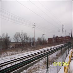
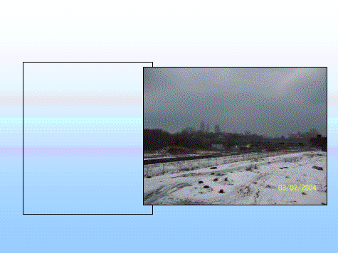
Walworth Run culverted/CSO |
|
Streams advantages are sediment control,
nutrient control, flood control, wildlife habitat corridors and important
part in a healthy watershed. |
|
Daylighting Advantages: |
|
-Improve water quality |
|
-recreational amenities |
|
-wildlife habitat |
|
-generate ped traffic |
|
-reconnect people to nature |
|
Soil and vegetation can filter, transform, bind
up, or otherwise neutralize much of the pollutants found in urban
stormwater runoff |
|
|
|
|
RCRA—Generators and transporters of hazardous
waste |
|
TSD—Treatment, Storage and Disposal of hazardous
wastes |
|
Request records report from OEPA’s Division of
Hazardous Waste Management on what types of waste are on the sites |
|
|
|
|
BUSTR—Bureau of Underground Storage Tank
Regulations. Under Ohio Department
of Commerce |
|
Typically slow leaks |
|
Many grants available for clean-up |
|
|
|
|
An inventory of more than 650 toxic chemicals
that are being used, manufactured, treated, transported, or released into
the environment. |
|
Various industries including manufacturing,
metal and coal mining, electric utilities, and commercial hazardous waste
treatment, among others are listed on EPA website. |
|
|
|
|
|
|
|
|
|
|
|
|
|
|
|
|
|
|
|
|
|
|
|
|
|
|
|
|
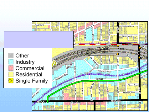
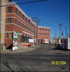
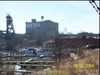
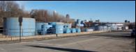
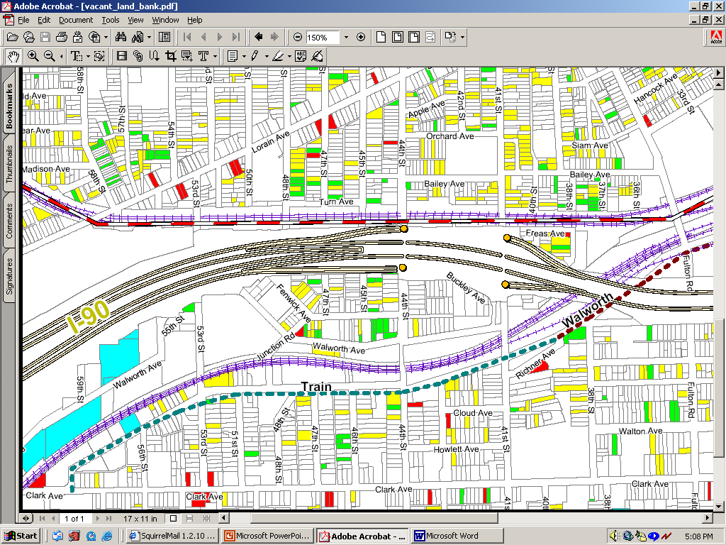
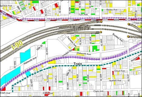
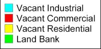
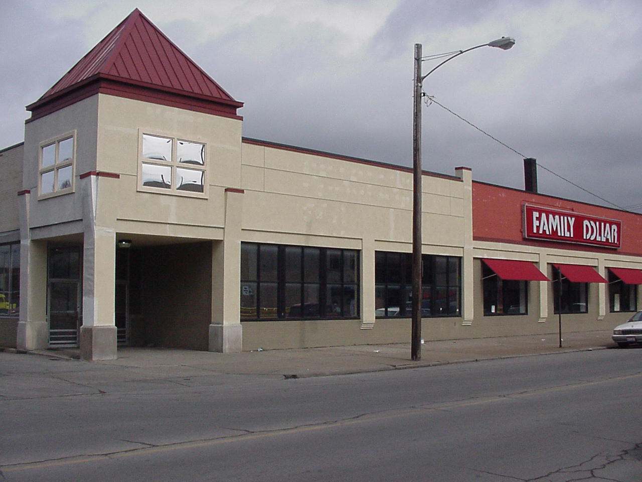
Area Land Use Patterns |
|
|
|
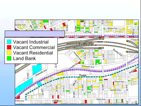
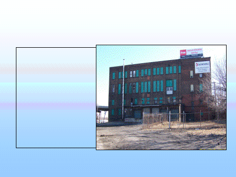
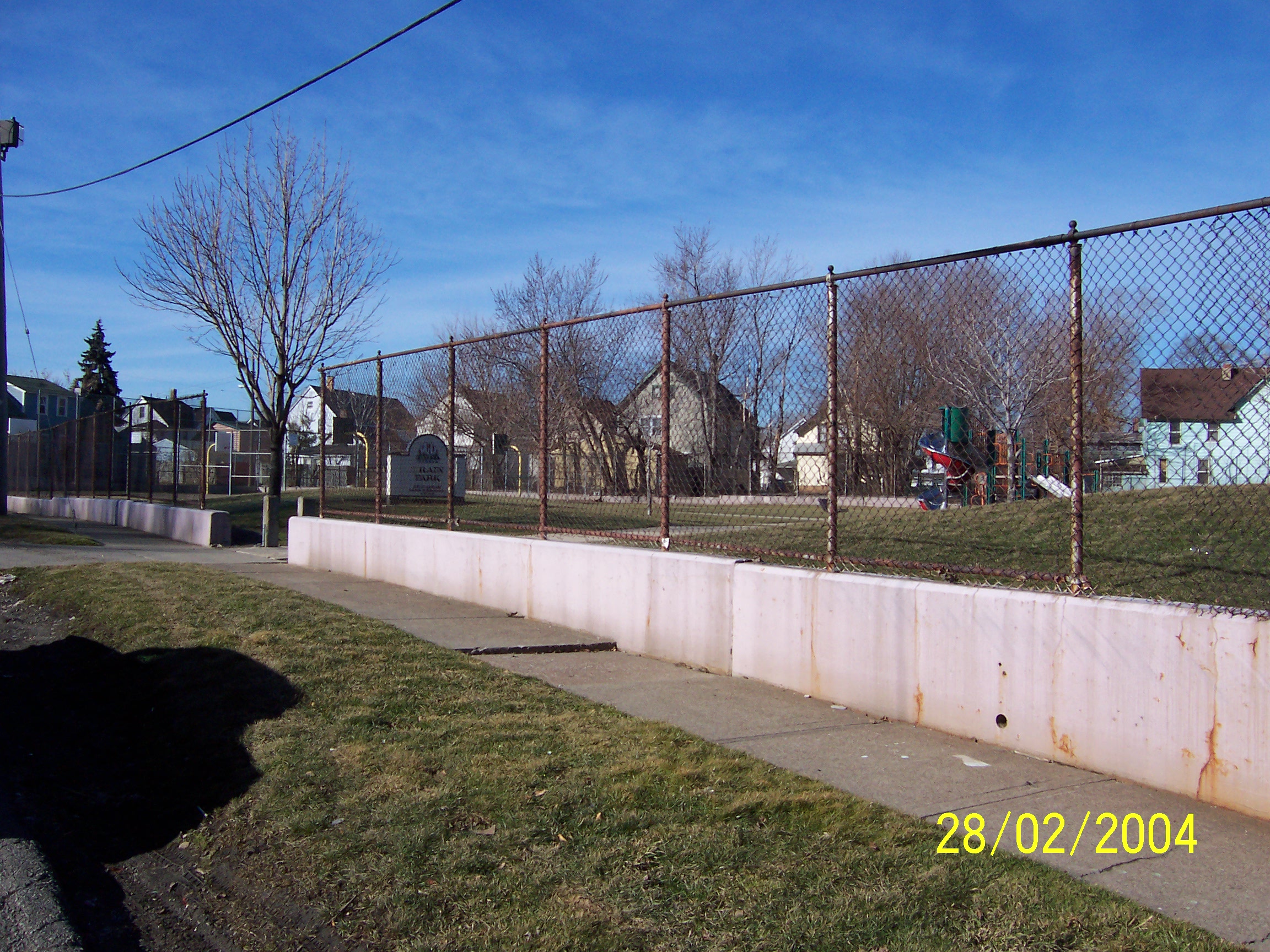
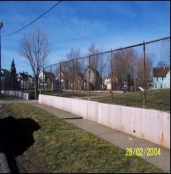
Vacant Parcels |
|
|
|
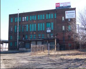
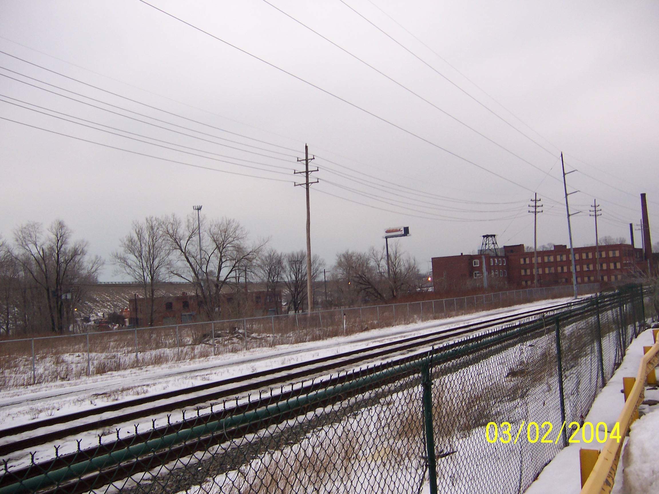
Underutilized Structures |
|
|
|
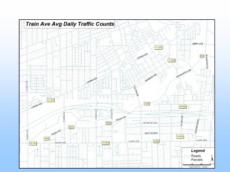
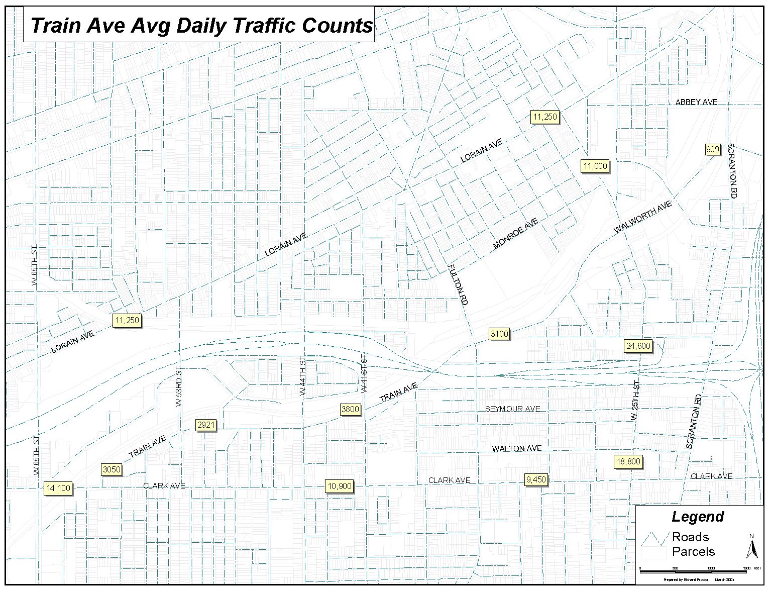
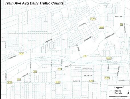
Daily Traffic Flow |
|
|
|
Other Concerns |
|
|
|
|
|
|
|
|
|
|
|
|
Environmental Clean-up costs |
|
|
|
Access |
|
|
|
Infrastructure costs |
|
|
|
Amount of developable land |
|
|
|
Developers objective |
|
|
|
|
Business Comparison Reports |
|
Consumer Expenditure Comparison Reports |
|
Demographic Overviews |
|
Retail Sales Potential Comparison Reports |
|
|
|
|
Reports based on 1, 2 and 5 mile Rings |
|
One set for each Western, Central and Eastern
portion of Train Avenue |
|
Maps are included to how what geographic region
is encompassed in each set |
|
www.ccim.com/review/STDB/OnlineHelp/STDB.htm#FAQs.htm |
|
|
|
|
Number of employees |
|
Where employees work |
|
Number of business establishments |
|
Number of employees for each business |
|
|
|
|
Based on average household annual expenditures |
|
2003 consumer expenditure |
|
Expected consumer expenditures in 2008 |
|
|
|
|
|
Statistics for: |
|
Population |
|
Housing |
|
Home values and contract rents |
|
Occupations |
|
Transportation |
|
Residency |
|
|
|
|
Average dollars spent annually at retail
establishments |
|
Aggregate dollars spent |
|
|
|
|
|
Based on census tracts: |
|
1026 |
|
1038 |
|
1039 |
|
1041 |
|
Consists of an area bounded by W.65th,
Lorain Avenue, W.25th and Clark Avenue |
|
|
|
|
|
|
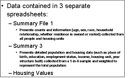
Data contained in 3 separate spreadsheets: |
|
Summary File 1 |
|
Presents counts and information [age, sex, race,
household relationship, whether residence is owned or rented] collected
from all people and housing units |
|
Summary 3 |
|
Presents detailed population and housing data
(such as place of birth, education, employment status, income, housing
unit, year structure built) collected from a 1-in-6 sample and weighted to
represent the total population |
|
Housing Values |
|
|
|
|
Housing Market Niche Analysis Template |
|
Maximum Purchase Price Template |
|
Retail Market Niche Analysis Template |
|
Potential Sources of Funding |
|
|
|
|
|
Possibilities |
|
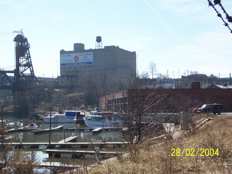
Daylight Walworth Run |
|
Towpath Trail would be great connection to the
existing marina |
|
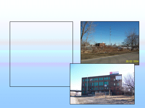
Several key sites with development potential |
|
|
|

 Notes
Notes